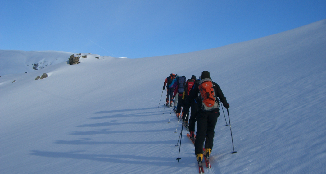
Stallerberg 2581 m ü.M.
Simple
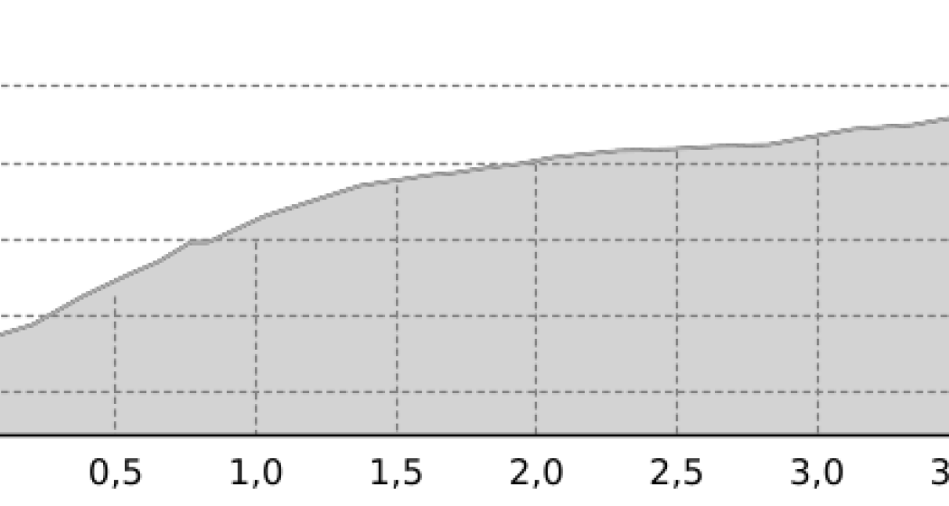
4 km
2:20 h
658 mhd
0 mhd


Possibility: With skilift until Mot Scalotta
Best Season
Jan
Feb
Mär
Apr
Mai
Jun
Jul
Aug
Sep
Okt
Nov
Dez
Start
Bivio (1769 m a.M.)
Destination
Stallerberg (2581 m a.M.s.l.)
Coordinates
46.462354, 9.640439
Details
Description
Departure over climb way or over Fuorcla Faller - Val Bercla - Mulegns or Crap da Radons - Stalveder.
Geheimtipp
After the tour have a stop in one of the confortable restaurants in Bivio.
Sicherheitshinweis
Ski tours – ascents and descents – are mostly undertaken off the marked slopes. The authors of the description of the tours as well as the bodies responsible for this communication reject any responsibility in case of danger.
We expressly point out that all ski tours described here are undertaken at your own risk.
Please note the current avalanche bulletin
Directions
Public Transport
With postcar until Bivio
Anreise Information
With car until Bivio
Parken
Behind hotel Guidon with costs
Responsible for this content Tourismus Val Surses Savognin Bivio AG.
This content has been translated automatically.

This website uses technology and content from the Outdooractive platform.