 Tour portal
  Weather
  Webcams
  Events
  Experience shop
  Bus & Taxi
 Parc Ela Trek Stage 10: Chamona d'Ela - F. da Tschitta - Preda
Show all 9 images
Details
Description
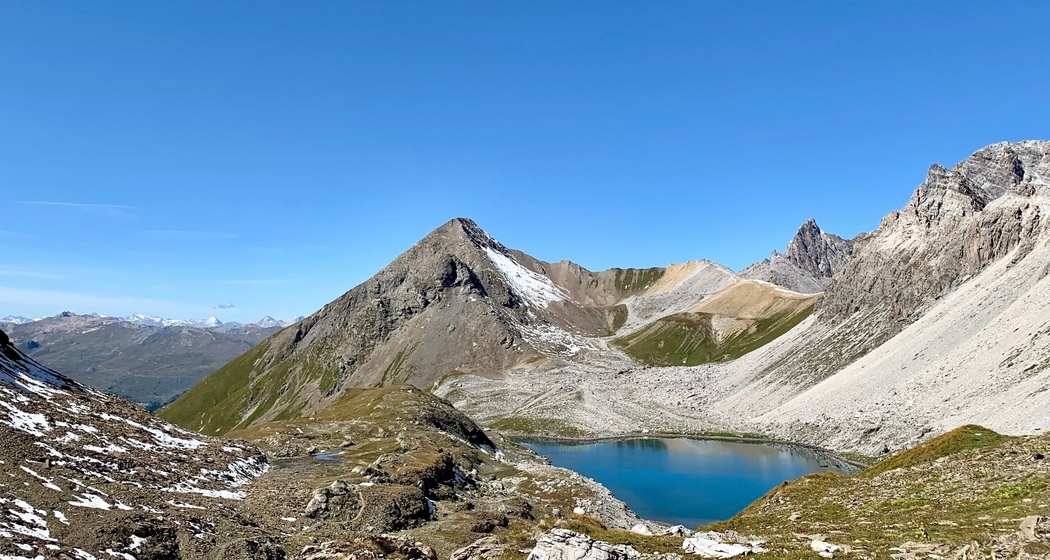
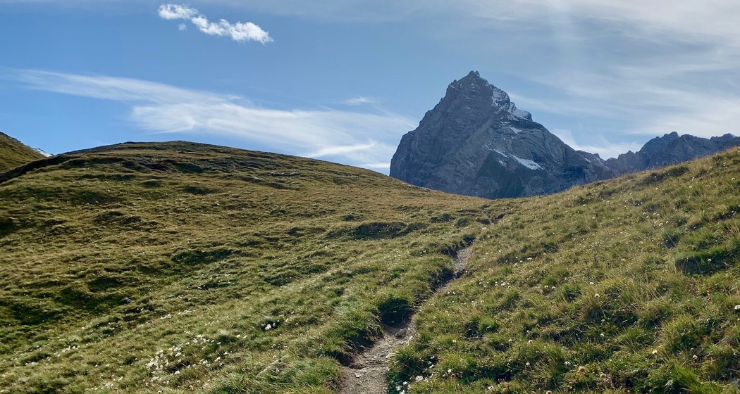
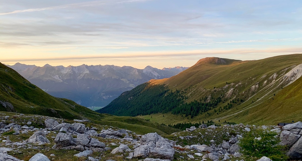
Through the rocky amphitheater formed by the Tinzenhorn and its subsidiary peaks, Piz Cuolmet and Piz Crap on the right side, as well as Piz Ela with Piz Spadlatsch, Piz Uglix and Piz Radond on the left side, the trek leads up to the pass. Rock debris and scree dominate here. Lichens still find a habitat. They even withstand drying out and frost. In the sedimentation zone of Lai Grond, the cottongrass blooms and on the ascent to Furschela da Tschitta, the alpine cowslip glows, forming a flat cushion in its shades of pink. Inhabiting the uppermost part of the mountain, it is increasingly under pressure due to climate warming. Our gaze sweeps over the Laiets to the peaks that crown this fascinating natural landscape. The green of the mountain pine replaces the earth tones. The waters from Val Tschitt and Val Mulix unite to form a wild stream: the Rabgiugsa. At the valley outlet, the wild stream forms a beautiful debris cone, the construction site for the Maiensäss settlement/Aclas Naz.
Geheimtipp
Responsible for this content Parc Ela Trek.

This website uses technology and content from the Outdooractive platform.