
 Tour portal
 Weather
 Webcams
 Events
 Experience shop
 Bus & Taxi
Parc Ela Trek stage 2: Stierva - Alp Stierva - Ziteil - Radons
Difficult
22 km
8:00 h
1470 mhd
950 mhd
Show all 10 images

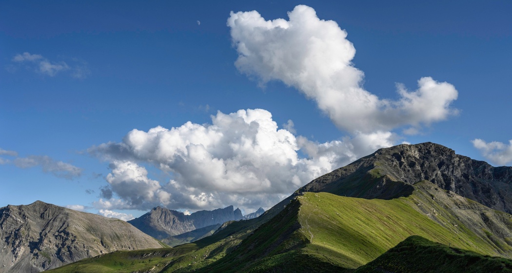
Flower-rich mountain meadows, wild mountain brooks, numerous fens, as well as a legendary pilgrimage site are the ingredients of this stage.
Best Season
Jan
Feb
Mär
Apr
Mai
Jun
Jul
Aug
Sep
Okt
Nov
Dez
Start
Stierva
Destination
Radons
Coordinates
46.664171, 9.542081
Details
Description
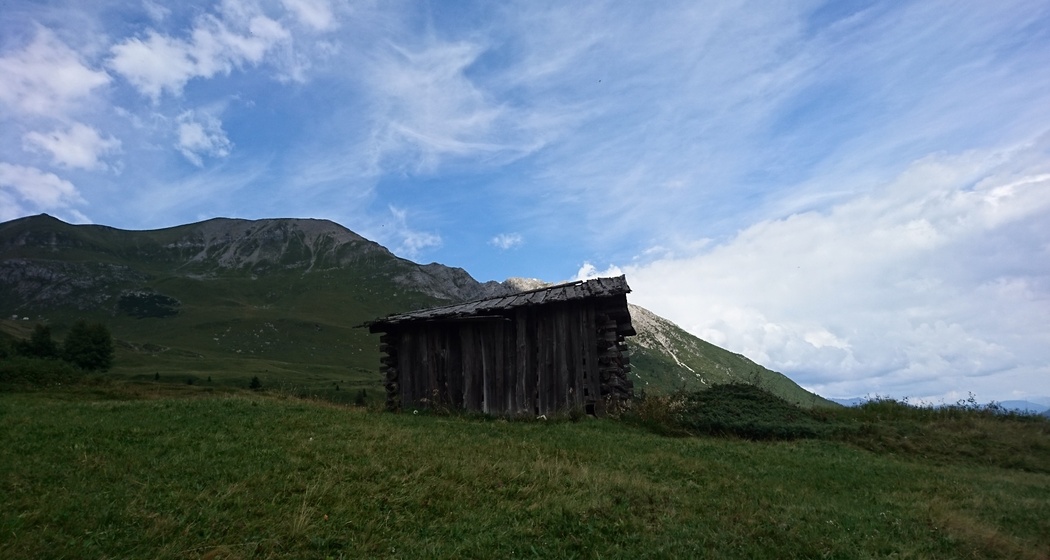
Over the Maiensässes Bargung, Tiragn and Narglesa, we hike upwards. Hay meadows and forest pastures alternate until we reach the belt of dwarf shrubs, habitat for black grouse and capercaillie. The moor landscape, with its fens on Bündner schist and flysch, shows its signature. In the mountain meadows, solitary hay barns, rom. Tgamons, stand. At point 1987m, a detour to "Alp Viglia", the historic alpine hamlet, is worthwhile. Back at point 1987m, the trek leads via "Tigia Alp Stierva", an alpine inn, over the ridge by Scalottas to the ridge above the mother cow pasture Alp da Stierva. The peaks of Piz Toissa and Curver Pintg form a fascinating backdrop. Below Crap l’Evla, we hike to the pilgrimage site Ziteil. Across alpine pastures, the path leads to the Maiensäss settlement Som igls Mellens and further to Alp Foppa. At the crossing of the Adont, we look into its wild catchment area, the Val Cumegna. After a short ascent, we follow the high path to Somtgant. Then it’s an easy step along the themed path "Alpine Life Somtgant" to Radons. Overnight stay Radons: Tigia Val Surses, Berghuus Radons, Camping Muntanela


Responsible for this content Verein Parc Ela.

This website uses technology and content from the Outdooractive platform.