Südflucht Graubünden (3 Etappen)


Show all 7 images

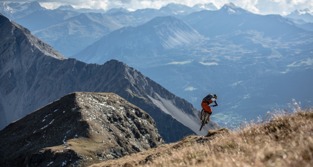
The trilingual canton of Graubünden is considered one of the most diverse regions in Switzerland. From the urban Chur Rhine Valley to rural Central Grisons, the Alpine Engadine and the almost Mediterranean southern valleys of Bergell and Puschlav.
Details
Description
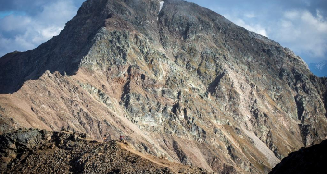
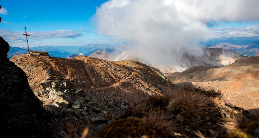
If you ride through the canton by mountain bike, you will experience this diversity even more intensively. The southern escape route offers the best opportunity for this. It is a top-class three-day alpine cross-country route, where Postbuses and the Rhaetian Railway facilitate the ascents as needed and at will. For once, even less well-trained mountain bikers can enjoy an alpine cross.
Discover stages:
Ausrüstung
Carry ID cards with you, the tour is cross-border.
Directions
Certain sections in the stages are covered by Postbus. Please note the markings on the map. From Tiefencastel, for example, you have the possibility to take the post bus to Savognin or in the second stage from Marmorera to Bivio. From Promotogno you take the bus directly to St. Moritz, where the route continues to Pontresina.
Effective distance kilometers on the bike: 125 km.
The tour officially ends in Poschiavo. However, if you want, you can extend the last stage to Tirano (IT).
Responsible for this content Graubünden Ferien.
This content has been translated automatically.

This website uses technology and content from the Outdooractive platform.