
 Tour portal
 Weather
 Snow report
 Webcams
 Events
 Experience shop
 Bus & Taxi
 Ski ticket shop
Savognin - Cunter - Salouf - Riom - Savognin
Medium
13.5 km
4:10 h
543 mhd
549 mhd
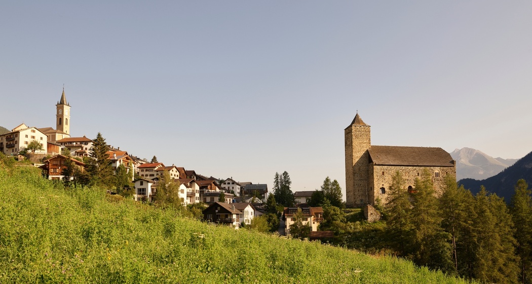
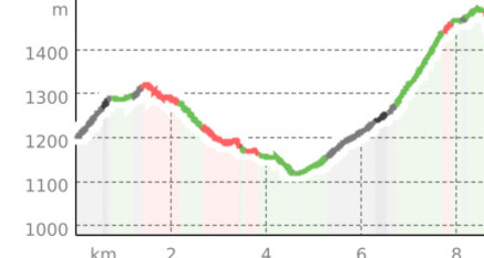
Hike from Savognin to Cunter, Salouf, Riom back to Savognin
Best Season
Jan
Feb
Mär
Apr
Mai
Jun
Jul
Aug
Sep
Okt
Nov
Dez
Start
Savognin
Destination
Savognin
Coordinates
46.596721, 9.597847
Details
Description
The hiking route leads via the Lareschs playground, past the Lai da Burvagn reservoir, Riom Castle, and the Lai Barnagn bathing lake.


Responsible for this content Tourismus Val Surses Savognin Bivio AG.
This content has been translated automatically.

This website uses technology and content from the Outdooractive platform.