Trailrun Rund um den Marmorerasee
Show all 11 images
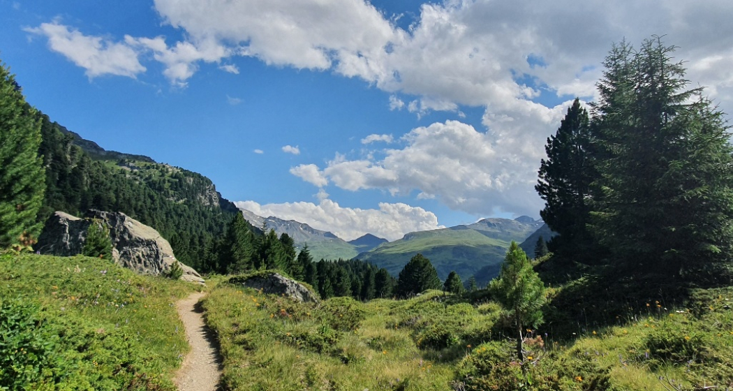
A scenic trail run from Bivio around Lake Marmorera.
Details
Description
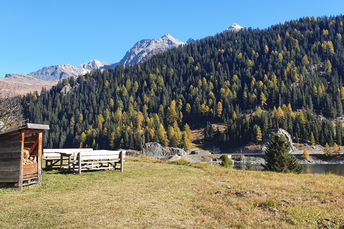
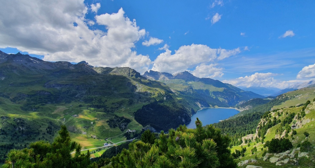
This circular tour starts and ends in the pass village of Bivio and offers fascinating views of Lake Marmorera, which is known for its intense green-blue color. The lake was created by the construction of a dam in the 1950s, which flooded the village of Marmorera – a project that caused a national sensation. The route leads via Alp Radons to Alp Flix and on to Sur, before crossing the dam and back to Bivio. The tour offers beautiful trails throughout and impressive views of the Julier Valley.
Geheimtipp
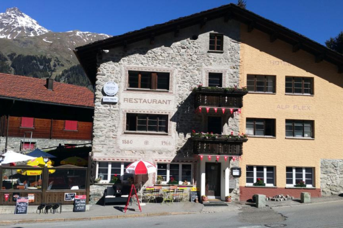
Refreshments on Alp Natons, Alp Flix and Sur. If you can't do any more, get on the Postbus in Sur and drive back to Bivio. The PostBus Salouf - Savognin and Savognin - Julierpass is included in the Val Surses guest card.
Sicherheitshinweis
Clothing and equipment appropriate to the weather. Take enough to drink with you.
On the Alps, suckler cows are to be expected in some cases. valsurses.ch/mutterkühe
Ausrüstung
We recommend trail run equipment.
Directions
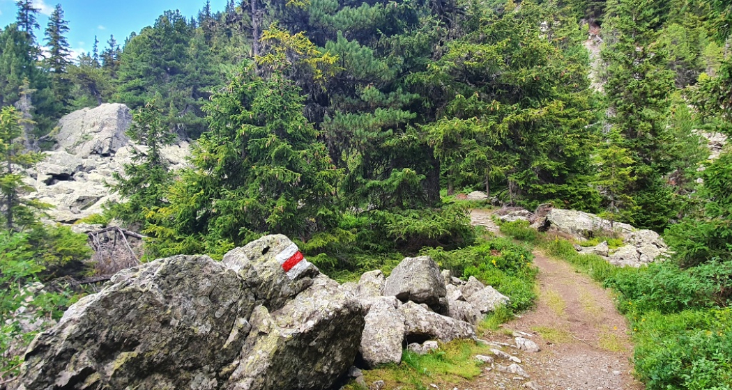
Start in Bivio towards Alp Natons, from there over the Kanonensattel to Alp Flix. Continue all down to Sur and back up to Alp Pra Miez. Past the next Alps back to Bivio.
Directions
Public Transport
Anreise Information
Parken
Responsible for this content Tourismus Val Surses Savognin Bivio AG.
This content has been translated automatically.

This website uses technology and content from the Outdooractive platform.
